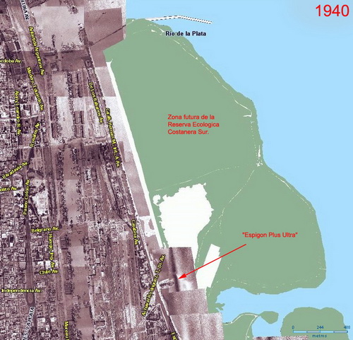
 Aerial photo which shows the limit of the city by 1940. The green area represents the present premises of the reserve. Aerial photo which shows the limit of the city by 1940. The green area represents the present premises of the reserve.
Source: mapa.buenosaires.gov.ar
|
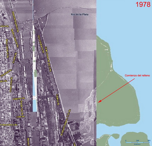 Aerial photo which shows the beginning of the construction of the Administrative Center, the original purpose of the project. The construction began from Brasil entrance to Viamonte. Aerial photo which shows the beginning of the construction of the Administrative Center, the original purpose of the project. The construction began from Brasil entrance to Viamonte.
Source: mapa.buenosaires.gov.ar
|
 Source: www.skyscrapercity.com Source: www.skyscrapercity.com
|
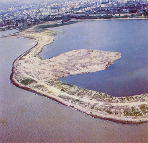 The Plumerillos Path does not reach the meeting point yet and the Middle Path is in its beginnings The Plumerillos Path does not reach the meeting point yet and the Middle Path is in its beginnings
Source: Municipalidad de Buenos Aires
|
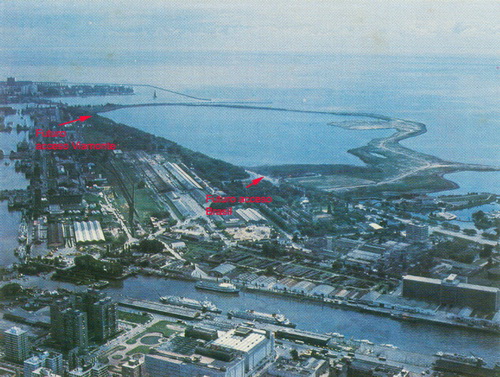 The Alders Path already reached Viamonte The Alders Path already reached Viamonte
Source: Municipalidad de Buenos Aires
|
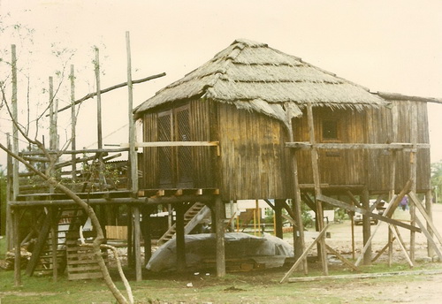 First huts First huts
Source: Lic. Sergio Recio
|
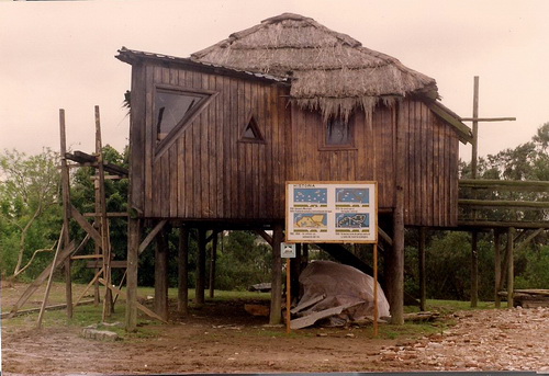 First huts and signboards First huts and signboards
Source: Lic. Sergio Recio
|
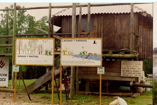 Source: Lic. Sergio Recio Source: Lic. Sergio Recio
|
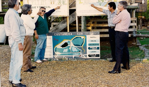 Source: Lic. Sergio Recio Source: Lic. Sergio Recio
|
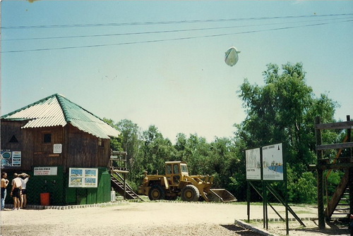 Source: Lic. Sergio Recio Source: Lic. Sergio Recio
|
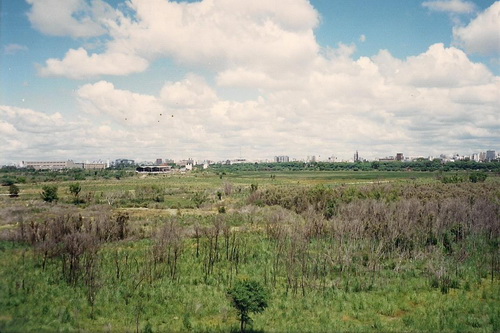 View from the coast to Brasil entrance. View from the coast to Brasil entrance.
Source: Lic. Sergio Recio
|
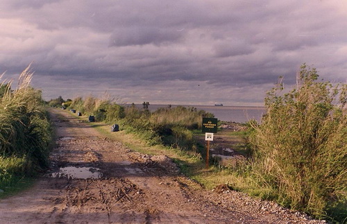 Leaving the meeting point towards Viamonte Leaving the meeting point towards Viamonte
Source: Lic. Sergio Recio
|
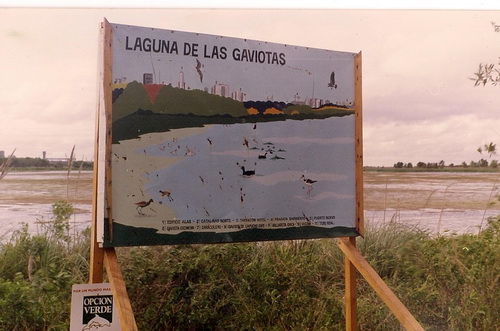 Source: Lic. Sergio Recio Source: Lic. Sergio Recio
|
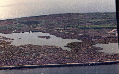 Source: Lic. Sergio Recio Source: Lic. Sergio Recio
|
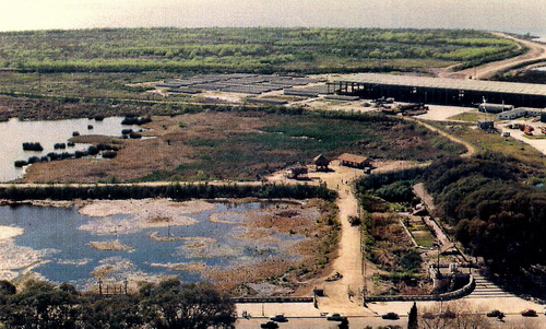 Source: Lic. Sergio Recio Source: Lic. Sergio Recio
|
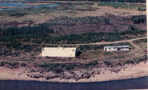 Source: Lic. Sergio Recio Source: Lic. Sergio Recio
|
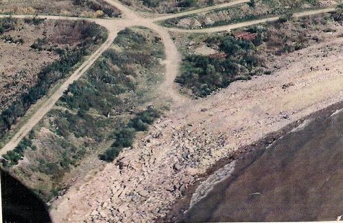 Meeting point Meeting point
Source: Lic. Sergio Recio
|
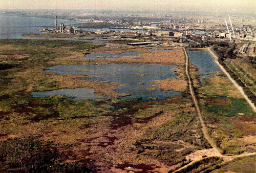 Source: Lic. Sergio Recio Source: Lic. Sergio Recio
|
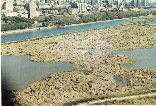 Source: Lic. Sergio Recio Source: Lic. Sergio Recio
|
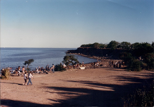 Coast of the river from Brasil entrance Coast of the river from Brasil entrance
Source: Lic. Sergio Recio
|
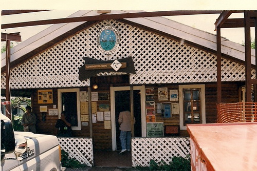 First building that replaced the huts First building that replaced the huts
Source: Lic. Sergio Recio
|
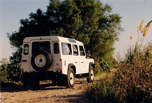 Truck donated by the Duke of Edinburgh during his visit to Buenos Aires to chair the WWF Annual Convention in 1992. Truck donated by the Duke of Edinburgh during his visit to Buenos Aires to chair the WWF Annual Convention in 1992.
Source: Lic. Sergio Recio
|
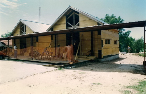 Building the present infrastructure. Visitors Center and other administrative facilities at Brasil entrance Building the present infrastructure. Visitors Center and other administrative facilities at Brasil entrance
Source: Lic. Sergio Recio
|
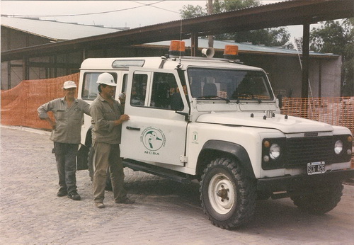 Building the present infrastructure. Visitors Center and other administrative facilities at Brasil entrance Building the present infrastructure. Visitors Center and other administrative facilities at Brasil entrance
Source: Lic. Sergio Recio
|
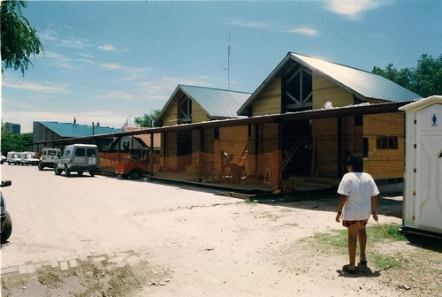 Building the present infrastructure. Visitors Center and other administrative facilities at Brasil entrance Building the present infrastructure. Visitors Center and other administrative facilities at Brasil entrance
Source: Lic. Sergio Recio
|
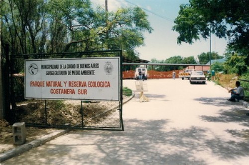 Brasil entrance. At the back the construction of the present infrastructure Brasil entrance. At the back the construction of the present infrastructure
Source: Lic. Sergio Recio
|
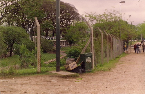 Source: Lic. Sergio Recio Source: Lic. Sergio Recio
|


